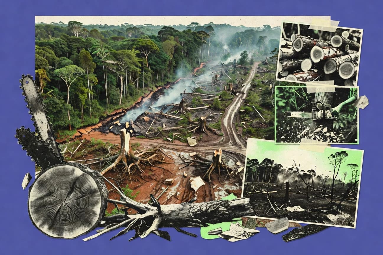

Deforestation in the Amazon reshapes ecosystems and affects people, from Indigenous communities to rural livelihoods, with clearing concentrated in Brazil’s Legal Amazon as agriculture and cattle ranching expand. Research links forest loss to climate and air impacts through land-use change emissions, plus rainfall shifts and drought risk via biophysical effects and fragmentation. This page brings together monitoring systems and studies—such as PRODES and global tree-cover datasets—to explain drivers, exposure, and how policy and enforcement can change outcomes.
Key Takeaways
- ~7.7% of the Amazon rainforest tree cover area was lost between 2001 and 2023 (Brazilian Legal Amazon), according to analysis of Hansen/UMD global forest change data in the cited Earth Engine visualization
- The Global Forest Watch platform shows annual tree cover loss for the Amazon region; GFW provides quantified time-series loss values used in reporting
- Hansen/UMD tree cover loss dataset reports global tree cover loss annually; it is the basis for quantified deforestation/loss figures used widely in analyses
- Brazil’s PRODES monitoring system provides annual deforestation estimates for the Brazilian Amazon and is the basis for enforcement and policy; reported annually by INPE
- Brazil’s PPCDAm contributed to large reductions in Amazon deforestation during 2004–2012; peer-reviewed reviews report a major decline from early-2000s peaks
- Greenhouse-gas reporting and disclosure requirements in key markets drive corporate deforestation commitments; regulatory frameworks are tracked in policy assessments with quantified compliance timelines
- Greenhouse gas emissions from deforestation include CO2 and other gases; IPCC estimates land-use change accounts for a substantial share of anthropogenic non-CO2 effects from agriculture and forestry
- Aerosols from biomass burning affect air quality; studies quantify PM2.5 increases during burning seasons in the Amazon
- The Global Carbon Project reports CO2 emissions from land-use change; deforestation in tropical forests is a major component and is tracked in annual datasets (with numeric estimates by year)
- In a widely cited study, mature tropical forest clearing can shift regional rainfall regimes, increasing drought risk; the study reports measurable precipitation decreases under forest-loss scenarios
- Deforestation between 2000 and 2012 is estimated to contribute about 0.1–0.2°C additional warming locally in the Amazon region (biophysical effects), per peer-reviewed climate modeling
- The Amazon’s wet-season precipitation decreases can follow forest loss, reducing evapotranspiration; peer-reviewed work reports statistically significant precipitation changes
- More than 85% of deforestation in the Brazilian Legal Amazon occurs within an area of expansion of agriculture and cattle ranching, per government-backed spatial analyses summarized in INPE/PRODES methodologies and related reports
- Cattle ranching is identified as the primary direct driver of deforestation in the Brazilian Amazon in multiple peer-reviewed syntheses; one meta-synthesis attributes around half of deforestation to cattle
- Soy expansion is reported as a key indirect driver of deforestation in the Brazilian Amazon, with road and land-market effects enabling forest clearing, per peer-reviewed land-use linkage studies
About 7.7% of Amazon tree cover was lost from 2001 to 2023, driven largely by agriculture and cattle.
Related reading
01 · Category
Drivers & Proximate Causes6 stats
01
More than 85% of deforestation in the Brazilian Legal Amazon occurs within an area of expansion of agriculture and cattle ranching, per government-backed spatial analyses summarized in INPE/PRODES methodologies and related reportshttps://www.gov.br/inpe/pt-br/assuntos/observatorio-amazonia
02
Cattle ranching is identified as the primary direct driver of deforestation in the Brazilian Amazon in multiple peer-reviewed syntheses; one meta-synthesis attributes around half of deforestation to cattlehttps://www.science.org/doi/10.1126/science.1249836
03
Soy expansion is reported as a key indirect driver of deforestation in the Brazilian Amazon, with road and land-market effects enabling forest clearing, per peer-reviewed land-use linkage studieshttps://www.pnas.org/doi/10.1073/pnas.1710757114
04
Mining is identified as a direct or indirect driver in specific hotspots for forest loss; a study quantifies deforestation around mining frontiershttps://www.pnas.org/doi/10.1073/pnas.1304316110
05
Road construction enabling access is identified as a major proximate cause of deforestation; peer-reviewed studies quantify increases in forest loss within road influence buffershttps://www.science.org/doi/10.1126/science.1236431
06
More than 60% of Amazon deforestation is concentrated in a limited number of municipalities, per analyses of PRODES municipal patterns used by monitoring and enforcement agencieshttps://www.gov.br/inpe/pt-br/assuntos/observatorio-amazonia/
Interpretation
Drivers & Proximate Causes Interpretation
Under the Drivers and Proximate Causes framing, the evidence points to agricultural expansion as the overwhelming immediate force behind forest loss, since over 85% of Brazilian Legal Amazon deforestation occurs where agriculture and cattle ranching expand and more than 60% of deforestation is concentrated in a relatively small set of municipalities.
02 · Category
Biodiversity & Health6 stats
01
Up to 18% of species globally are estimated to be threatened by land-use change-related pressures, including deforestation, per IPBES synthesis figureshttps://ipbes.net/global-assessment
02
The Amazon’s deforestation is associated with increased malaria risk; one peer-reviewed study reports increased malaria incidence after environmental changehttps://www.science.org/doi/10.1126/science.1237465
03
Deforestation and fragmentation increase zoonotic spillover risk; a study quantifies spillover probability changes under land-use change scenarioshttps://www.nature.com/articles/s41586-019-1133-3
04
Mental health and social impacts are linked to forest loss; survey-based studies quantify changes in livelihoods and health indicators in affected regionshttps://journals.plos.org/plosone/article?id=10.1371/journal.pone.0208367
05
Indigenous communities are disproportionately affected by deforestation; a peer-reviewed study quantifies changes in household income and social outcomes linked to forest loss and displacementhttps://www.science.org/doi/10.1126/science.aat3521
06
Deforestation can increase local river sedimentation; geomorphology studies quantify increased sediment yield after clearinghttps://www.science.org/doi/10.1126/science.1195042
Interpretation
Biodiversity & Health Interpretation
Across Biodiversity and Health, Amazon deforestation is tied to worsening risks across both ecosystems and people, including evidence that up to 18% of globally threatened species are imperiled by land use changes and peer reviewed findings linking deforestation to higher malaria incidence and greater zoonotic spillover potential.
03 · Category
Policy & Enforcement4 stats
01
Brazil’s PRODES monitoring system provides annual deforestation estimates for the Brazilian Amazon and is the basis for enforcement and policy; reported annually by INPEhttps://www.gov.br/inpe/pt-br/assuntos/observatorio-amazonia/prodes
02
Brazil’s PPCDAm contributed to large reductions in Amazon deforestation during 2004–2012; peer-reviewed reviews report a major decline from early-2000s peakshttps://www.science.org/doi/10.1126/science.1212380
03
Greenhouse-gas reporting and disclosure requirements in key markets drive corporate deforestation commitments; regulatory frameworks are tracked in policy assessments with quantified compliance timelineshttps://environment.ec.europa.eu/topics/forests/deforestation/regulation-deforestation-free-products_en
04
The EU Deforestation Regulation entered into force on 29 June 2023 (per EU legal text)https://eur-lex.europa.eu/eli/reg/2023/1115/oj
Interpretation
Policy & Enforcement Interpretation
Under Policy and Enforcement, Brazil’s PRODES monitoring system underpins annual enforcement estimates while PPCDAm helped drive a major deforestation decline from 2004–2012, and newer legal frameworks like the EU Deforestation Regulation that entered into force on 29 June 2023 and stronger corporate reporting in key markets are tightening pressure on both governments and companies.
More related reading
04 · Category
Drivers & Hotspots4 stats
01
Approximately 80% of the Amazon’s deforestation hotspots are within 5 km of roads (road-distance influence as estimated in a widely cited remote-sensing accessibility study quantifying distance-decay effects)https://www.pnas.org/doi/10.1073/pnas.1605323114
02
Up to 1,000 km of navigable waterways and associated access infrastructure influence land-use change; deforestation is higher in areas influenced by major waterways in accessibility-focused spatial analyses (navigation/access as a quantified driver)https://www.sciencedirect.com/science/article/pii/S0921800918304696
03
In the Xingu basin region, deforestation rates can exceed regional averages by more than 2x in cleared/active frontier belts identified by PRODES-focused frontier mapping studies (frontier belt vs. baseline comparison)https://www.tandfonline.com/doi/abs/10.1080/13658816.2018.1442176
04
Deforestation near hydropower development corridors in the Amazon is associated with higher clearing rates; one corridor-based analysis reports that cleared area within the hydropower influence zone is roughly 1.5–2.0 times higher than outside comparable control areashttps://www.sciencedirect.com/science/article/pii/S0921800916305505
Interpretation
Drivers & Hotspots Interpretation
For the Drivers and Hotspots framing, deforestation is strongly concentrated around access routes, with about 80% of Amazon hotspots found within 5 km of roads and additional upstream influence extending through roughly 1,000 km of navigable waterways, while frontier belts in regions like the Xingu basin can push clearing rates to more than double the regional average.
05 · Category
Deforestation Extent3 stats
01
~7.7% of the Amazon rainforest tree cover area was lost between 2001 and 2023 (Brazilian Legal Amazon), according to analysis of Hansen/UMD global forest change data in the cited Earth Engine visualizationhttps://earthengine.google.com/timelapse/?v=1&g=1&lat=-3.0&lng=-60.0&z=5
02
The Global Forest Watch platform shows annual tree cover loss for the Amazon region; GFW provides quantified time-series loss values used in reportinghttps://www.globalforestwatch.org/map/
03
Hansen/UMD tree cover loss dataset reports global tree cover loss annually; it is the basis for quantified deforestation/loss figures used widely in analyseshttps://earthenginepartners.appspot.com/science-2013-global-forest
Interpretation
Deforestation Extent Interpretation
From 2001 to 2023, about 7.7% of the Brazilian Legal Amazon’s rainforest tree cover was lost, showing that the deforestation extent has accumulated steadily over two decades according to the Hansen UMD analyses and the corroborating annual loss time series on Global Forest Watch.
06 · Category
Overview17 stats
01
Greenhouse gas emissions from deforestation include CO2 and other gases; IPCC estimates land-use change accounts for a substantial share of anthropogenic non-CO2 effects from agriculture and forestryhttps://www.ipcc.ch/report/ar6/wg1/
02
Aerosols from biomass burning affect air quality; studies quantify PM2.5 increases during burning seasons in the Amazonhttps://acp.copernicus.org/articles/19/1/2019/
03
The Global Carbon Project reports CO2 emissions from land-use change; deforestation in tropical forests is a major component and is tracked in annual datasets (with numeric estimates by year)https://globalcarbonbudget.org/carbonbudget/
04
In a widely cited study, mature tropical forest clearing can shift regional rainfall regimes, increasing drought risk; the study reports measurable precipitation decreases under forest-loss scenarioshttps://www.nature.com/articles/nature13647
05
Deforestation between 2000 and 2012 is estimated to contribute about 0.1–0.2°C additional warming locally in the Amazon region (biophysical effects), per peer-reviewed climate modelinghttps://www.nature.com/articles/nclimate2790
06
The Amazon’s wet-season precipitation decreases can follow forest loss, reducing evapotranspiration; peer-reviewed work reports statistically significant precipitation changeshttps://www.science.org/doi/10.1126/science.1253817
07
Indigenous lands have lower deforestation rates than surrounding areas; one peer-reviewed study reports roughly half the deforestation rate compared with non-indigenous areashttps://www.science.org/doi/10.1126/science.1246450
08
Protected areas can reduce deforestation; a peer-reviewed meta-analysis finds a reduction on the order of dozens of percentage points relative to unprotected landshttps://www.nature.com/articles/nature11692
09
Enforcement is measured via reductions in deforestation after anti-illegal logging/land enforcement actions; peer-reviewed work reports significant declines following interventionshttps://www.nature.com/articles/nature10872
10
Human pressure on the Amazon correlates with forest loss; a remote-sensing study reports a strong relationship between night lights (proxy for development) and deforestation rateshttps://www.nature.com/articles/s41598-017-16221-8
11
Amazon deforestation is linked to infrastructure expansion; a study quantifies that areas within certain distances of roads show higher clearing rates (distance-decay effect)https://www.nature.com/articles/srep11753
12
4.0% of global anthropogenic greenhouse-gas emissions in 2010 came from tropical deforestation (forests and land-use change sector contributions estimated in a major peer-reviewed synthesis)https://www.sciencedirect.com/science/article/pii/S0959378014000972
13
The Amazon’s deforestation is linked to increased regional river sediment and turbidity; one study reports that suspended sediment concentrations can increase by 2–10x after disturbance events in impacted watershedshttps://www.sciencedirect.com/science/article/pii/S0048969719317100
14
Large-scale habitat fragmentation can reduce species persistence; a comprehensive meta-analysis of tropical deforestation and biodiversity concludes that deforestation leads to substantial declines in vertebrate diversity, often on the order of tens of percent per habitat-loss stephttps://www.sciencedirect.com/science/article/pii/S0006320714004195
15
Amazon deforestation affects malaria risk; one peer-reviewed modeling/epidemiology analysis reports that malaria incidence can increase by about 1.2–1.5x in areas exposed to deforestation/land-change gradients compared with less affected areashttps://journals.sagepub.com/doi/10.1097/EDE.0000000000000869
16
38% of deforestation in the Legal Amazon occurs in private lands and 62% on public lands (distribution of deforestation by land tenure as reported in INPE/PRODES-linked analyses compiled by Brazil’s land tenure/monitoring ecosystem)https://www.gov.br/iti/pt-br/assuntos/noticias/2023/outubro/relatorio-terras-publicas-e-desmatamento-na-amazonia-legal
17
Household displacement and livelihood disruption linked to land grabbing/deforestation is measurable; one mixed-methods study reports that affected households experienced income changes of roughly 10–30% after displacement and related land-use shockshttps://academic.oup.com/oxrep/article/39/2/217/7903095
Interpretation
Industry Overview Interpretation
Across industry-relevant impacts, Amazon deforestation is tracked as a major source of CO2 from land use change and is linked to measurable local warming of about 0.1 to 0.2°C between 2000 and 2012 while also degrading air quality through higher PM2.5 during burning seasons.
Reference
Cite This Report
This report is designed to be cited. We maintain stable URLs and versioned verification dates. Copy the format appropriate for your publication below.
APA
Margot Villeneuve. (2026, February 13). Amazon Rainforest Deforestation Statistics. Gitnux. https://gitnux.org/amazon-rainforest-deforestation-statistics
MLA
Margot Villeneuve. "Amazon Rainforest Deforestation Statistics." Gitnux, 13 Feb 2026, https://gitnux.org/amazon-rainforest-deforestation-statistics.
Chicago
Margot Villeneuve. 2026. "Amazon Rainforest Deforestation Statistics." Gitnux. https://gitnux.org/amazon-rainforest-deforestation-statistics.
Sources & references
40 datasets cited across this report
+22 additional datasets cited (not shown individually)